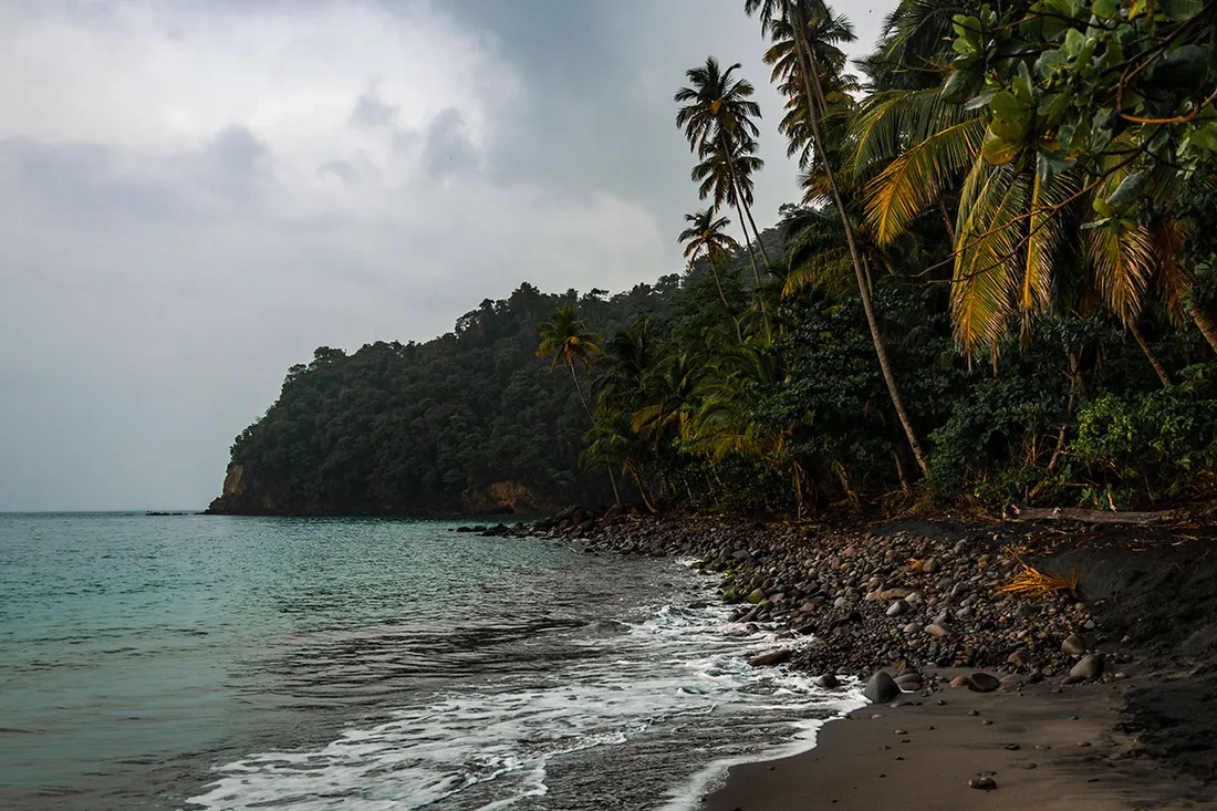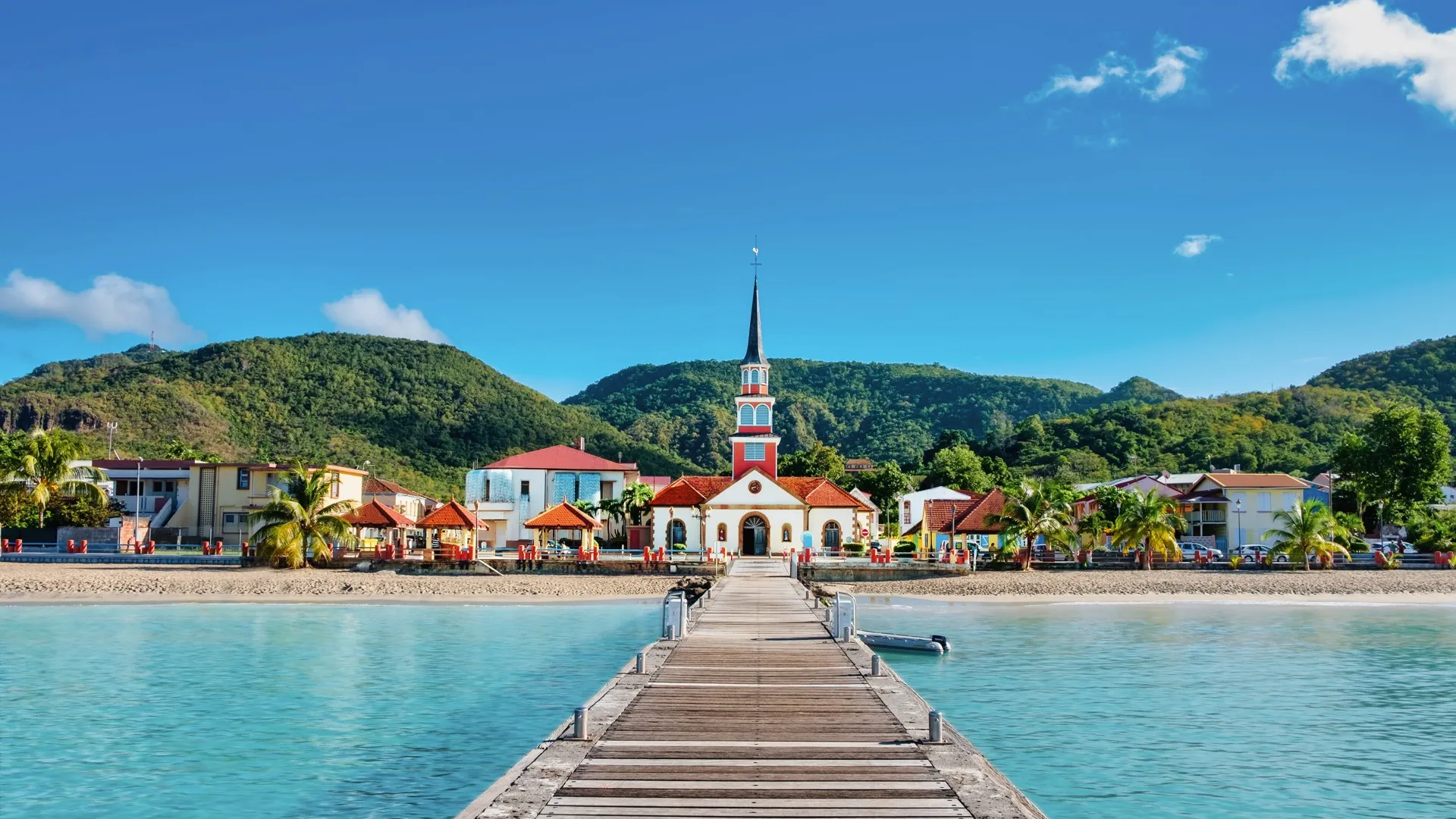
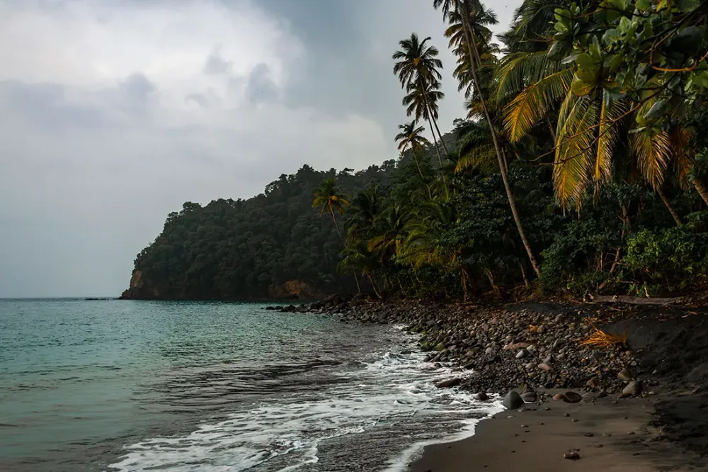
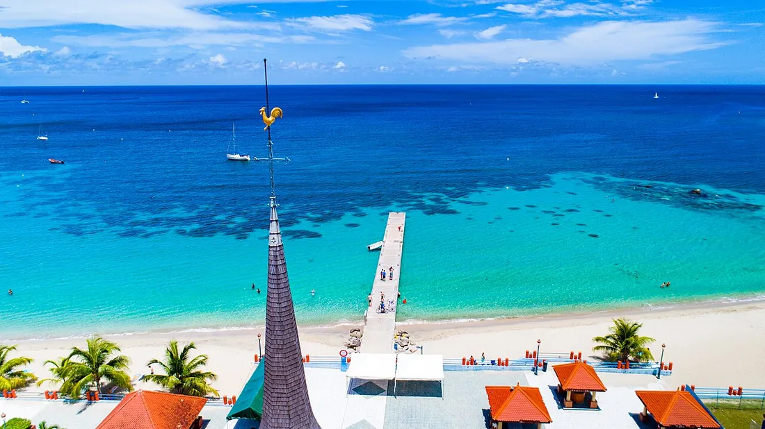
We picture Martinique as a limitless playground for stunning footage: the turquoise water of the Anses-d’Arlet, the black sand of Anse Noire, the plume of Montagne Pelée seen from above. That’s true, but the island is also a densely regulated territory, both in the sky and at sea. Launching a drone just anywhere can earn you a hefty fine; swimming without reading the flags can be far more serious. As a concierge service based on the island, every season we guide travellers who want to bring home beautiful videos and enjoy the sea safely. Here, in plain language, is what the drone regulations in Martinique actually say, and how to decode the flags, the sargassum and the shark risk, town by town.
Drone regulations in Martinique: a French framework applied in the overseas departments
Since Martinique is a French overseas department and region (DROM), the drone there follows French and European regulations exactly. There is no looser “exotic” regime: what is banned in mainland France is banned here too, with the added constraints linked to the terrain and protected areas.
The basic rules that apply to any recreational use, even with a small device under 250 g:
- Line-of-sight flight only, without binoculars, and a maximum height of 120 metres above the ground.
- No flying over gatherings of people (a packed beach at Les Salines on a Sunday, for example).
- No night flying for recreation and respect for privacy (no filming of other people’s terraces or villas).
- Operator registration on the AlphaTango portal for the relevant devices, and free online training from 250 g upwards.
A fine for flying over a banned zone can reach several hundred or even thousands of euros, and confiscation of the equipment is possible. Before any flight, the reflex is to check the official Géoportail map (“recreational drone restrictions” layer) or the Mappy/AlphaTango app: it displays in real time the red, orange and free zones.
Drone no-fly zones in Martinique: what to avoid
Several highly photogenic areas are precisely the most closely watched. Here are the drone no-fly zones in Martinique to know before planning a video itinerary.
Around Aimé Césaire Airport (Le Lamentin)
This is constraint number one. Aimé Césaire Airport, at Le Lamentin, creates a vast exclusion zone. The entire centre of the island, around the bay of Fort-de-France, Le Lamentin and part of Ducos/Rivière-Salée, is affected by restrictions linked to civil aviation. In practice, a recreational drone there is banned or subject to prefectural authorisation, which is almost never granted to a tourist. Forget filming the bay from the centre: aim instead for the south or north coast, outside the flight corridor.
Protected natural areas and reserves
Martinique has many listed sites where overflight is banned or tightly controlled:
- The Caravelle Peninsula Nature Reserve (Tartane): sensitive coastal wildlife.
- The islets of the Atlantic coast (Ilet Chancel and its iguanas at Le Robert, the islets of Le François): bird nesting and protected species.
- The surroundings of Montagne Pelée and the Pitons du Carbet, part of the UNESCO property “Volcanoes and forests of Montagne Pelée”, where drones can disturb the tranquillity of the sites and are regulated.
- The mangroves of Génipa Bay.
Urban, heritage and sensitive sites
Overflight is also prohibited or restricted above:
- the ruins of Saint-Pierre and the town (listed area, foot traffic on the ground);
- military installations, the port and power plants;
- stadiums, events and parades, particularly during the February–March carnival or the Tour des Yoles in summer.
What about the beaches?
Filming a beach is often possible if it is uncrowded, outside the airport zone and outside any reserve. An Anse Dufour or a Grande Anse des Salines early in the morning, empty, lends itself well to a drone. The same beach at 2 p.m., covered with people, exposes you to the ban on flying over people. The golden rule: early morning, few people, map checked.
Reading the swimming flags in Martinique
Filming is one thing; swimming safely is another, and it is undoubtedly the most important subject. On supervised beaches (with lifeguards, in season or depending on the town), a system of swimming flags tells you everything at a glance:
- Green flag: swimming allowed and supervised, normal conditions.
- Orange (or yellow) flag: dangerous but supervised swimming. Caution, currents or swell present.
- Red flag: swimming forbidden. Proven danger (rough sea, rip current, pollution). Do not swim, not even “just your feet”.
- Purple/mauve flag: a specific hazard signalled, for example the presence of animals (jellyfish, Portuguese man o’ war) or degraded water quality.
Be careful: many Martinique beaches are not supervised, and therefore have no flag. The absence of a flagpole never means “zero danger”. It is actually the opposite: on a wild beach, you are the sole judge, and no one will respond quickly if a problem arises.
Atlantic or Caribbean: two seas, two levels of risk
The island’s geography changes everything. Understanding this difference is worth all the flags in the world.
- Caribbean coast (west): generally calm sea, translucent water, ideal for swimming and snorkelling. This is where the safest beaches are (Anse Dufour, Anse Noire, Grande Anse d’Arlet, Anse Mitan at Les Trois-Îlets).
- Atlantic coast (east): rougher sea, rip currents (baïnes), swell and breakers. Magnificent for surfing and kitesurfing at Tartane or Le Vauclin, but dangerous for a family swim. Stay cautious there and favour the protected lagoons (Cap Chevalier, Pointe Marin).
A rip current pulls you out to sea: the rule is to not fight it head-on, but to swim parallel to the beach to escape it. Memorise this before you even put down your towel.