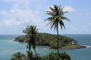
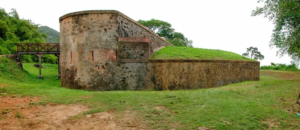
When you picture French Guiana, the first images that come to mind are the Ariane 6 rocket tearing into the sky from Kourou, the Salvation Islands steeped in the history of the penal colony, or the Kaw marshes at sunrise. But just a few minutes from Cayenne, another chapter of history slumbers in the shade of the mangroves: the small forts of the estuary, those stone sentinels that once watched over the mouth of the Cayenne River. Fort Diamant is the most emblematic of them all. Here is an invitation to a historical walk accessible to everyone, in a place where the tropical wilderness has reclaimed almost everything.
Why a fort at the mouth of the Cayenne River?
Cayenne is an island. Many visitors don’t realise it, but the main town of this French overseas department (DROM) of nearly 294,000 inhabitants sits on a tongue of land bordered by the Atlantic Ocean and two waterways. This position, ideal for trade, was also a source of covetousness: in the 17th and 18th centuries, the French, Dutch, English and Portuguese all fought over this tropical trading post.
To control the estuary was to control maritime access to the town. Hence the construction, throughout the colonial conflicts, of a chain of defensive works: batteries, redoubts and small forts arranged so as to cross their fire over any ship attempting to sail up to Cayenne. Fort Diamant, perched on a coastal rise in the commune of Rémire-Montjoly, is the most visible link in this chain today.
A defence conceived as a network
You have to picture these works not as isolated structures, but as parts connected by a military logic:
- a line of batteries watching over the entrance channel;
- elevated artillery positions to dominate the mangrove;
- a central stronghold, more solid, capable of withstanding a landing.
This organisation explains why the walk among the forts feels like a journey rather than a single one-off visit.
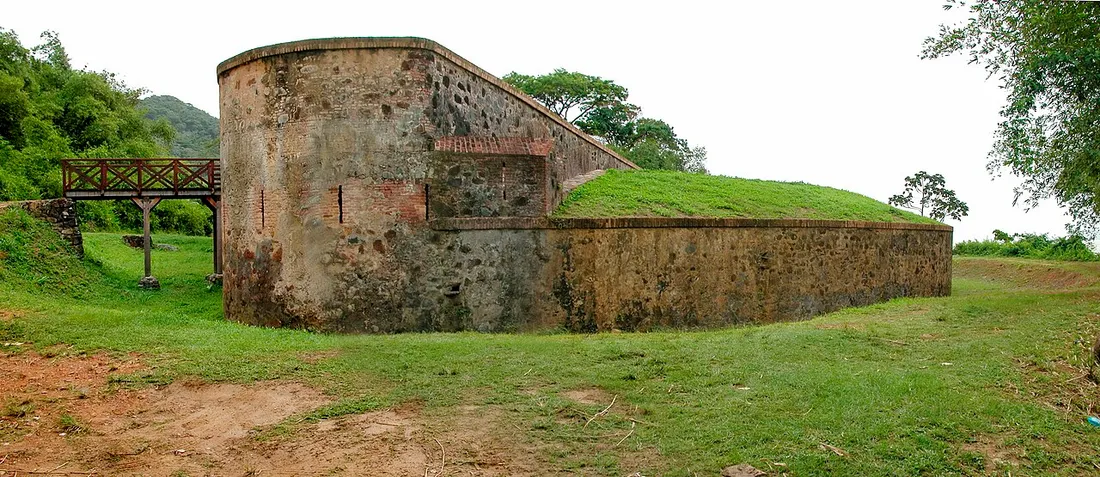
Fort Diamant: the sentinel of Rémire-Montjoly
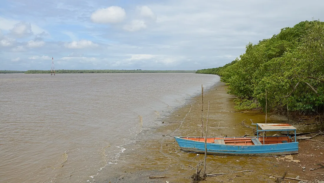
Fort Diamant occupies a coastal knoll between Cayenne and the town of Rémire-Montjoly. From up there, the eye takes in the brown-ochre Atlantic, laden with silt from the nearby Amazon, and the dense vegetation that tumbles down to the shore.
The structure has lived several lives: a colonial defensive post, then a position reoccupied with the tensions of the 18th century, before falling into a long oblivion. What you see today are the remains of walls and platforms, partly overrun by the forest. That is precisely what gives it its charm: you are not visiting a restored, signposted monument as in mainland France, but a living ruin where every stone must be earned on foot.
What you feel on site
- The contrast between the military rigour of the foundations and the tropical exuberance that covers them.
- The constant sound of the ocean and the birds, where the orders of the garrison once rang out.
- An open view that is ideal at the end of the day, when the slanting light warms the coast.
Allow 45 minutes to 1 hour 30 on the site, depending on your pace and your curiosity, including the approach walk.
The other estuary forts to link together
Fort Diamant is best appreciated alongside the other military traces in the surrounding area. On the Rémire-Montjoly peninsula and around Cayenne, you’ll find the remains of batteries and redoubts, often discreet, sometimes marked only by a simple sign or an alignment of stones.
A few landmarks to build your half-day route:
- Fort Diamant: the historical and panoramic highlight, ideal for starting.
- The heights of Rémire-Montjoly: discovery trails blending heritage and viewpoints over the bay.
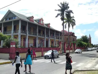
- Cayenne’s historic centre: the Place des Palmistes and its surroundings preserve the urban memory of the island’s defence.
This network approach turns an isolated curiosity into a genuine reading of the territory. To plan your stay more broadly, our French Guiana guide places these sites among the region’s must-sees.
How to organise your walk from Cayenne
Access and distances
The Rémire-Montjoly area lies about 10 to 15 km from the centre of Cayenne, or 15 to 25 minutes by road depending on traffic. From Félix-Éboué airport, in Matoury, allow around thirty minutes. In French Guiana, a car is essential: public transport does not serve these somewhat out-of-the-way sites properly. Renting a vehicle remains the best ally for combining forts, beaches and the surrounding towns.
When to go
The best period runs from July to late November, during the dry season: passable trails, clearer skies, and heat tempered by the sea breeze. In the rainy season, the approaches can become slippery and muddy.
For the walk itself, favour:
- early morning, before the great heat;
- or late afternoon, for the light and the cool air, while keeping a margin before the quick fall of night (around 6–6.30 pm all year round).
What to bring
- Good closed shoes (uneven terrain, roots, stones).
- Plenty of water: at least 1.5 litres per person.
- An effective mosquito repellent, especially near the mangrove.
- A hat, sunscreen and, ideally, binoculars to observe the coast and the birds.
Note: the yellow fever vaccine is compulsory to enter French Guiana. Remember it before you leave.