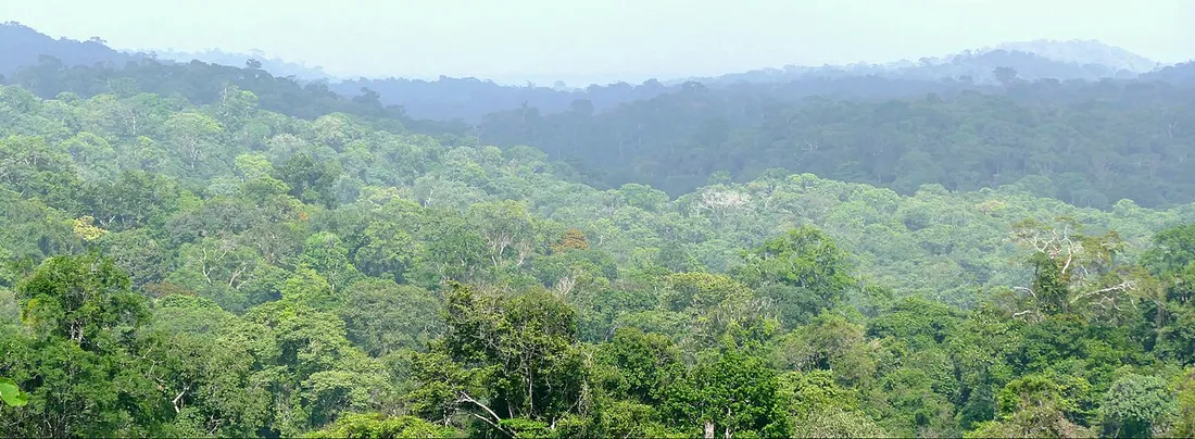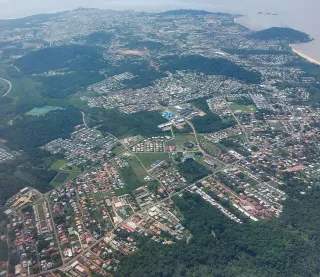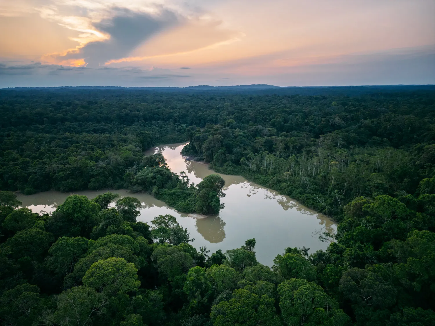
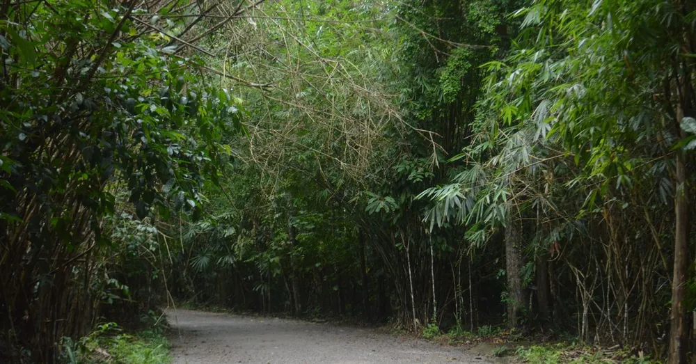
Just minutes from Félix-Éboué Airport and downtown Cayenne, Mont Grand Matoury raises its forested silhouette above the metropolitan area. Many travelers fly over it without realizing as they land, struck by this wall of greenery towering over the coastal plain, never imagining they could climb it the very next morning. Yet it is one of the most accessible scenic hikes in French Guiana, and probably the fastest way to set foot in the Amazon rainforest without organizing a multi-day expedition. As residents who climb it regularly and take our guests there, here is everything you need to know to make your outing a success.
A national nature reserve on the edge of the city
Mont Grand Matoury peaks at 234 meters in altitude, in the municipality of Matoury, halfway between Cayenne and the airport. It is not a dizzying summit, but its immediate proximity to the urban area makes it a rare case: in less than ten minutes you go from a concrete roundabout to a dense tropical forest, classified as a National Nature Reserve since 2006. With its 2,123 hectares, it is one of the few fully protected forest massifs to sit right up against an urban area in French Guiana.
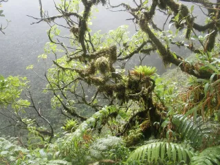
This protection is no small matter. The massif records more than 700 plant species and is home to remarkable biodiversity: dozens of bird species, howler monkeys that you hear far more than you see, squirrel monkeys (the famous saïmiris), agoutis, tamarins, sloths, and a flora of giant trees typical of the Guiana Shield. To walk here is to understand in a single morning why French Guiana, this French overseas department and region (DROM), is one of the most forested territories on the planet.
Why this mountain is worth the detour
- Total accessibility: no dugout canoe or 4x4 required, unlike the Nouragues or the Maroni. From Cayenne, count on 15 to 20 minutes by car; from Rémire-Montjoly or the airport, even less.
- A genuine forest immersion without leaving the city behind, where most of French Guiana’s natural sites demand serious logistics.
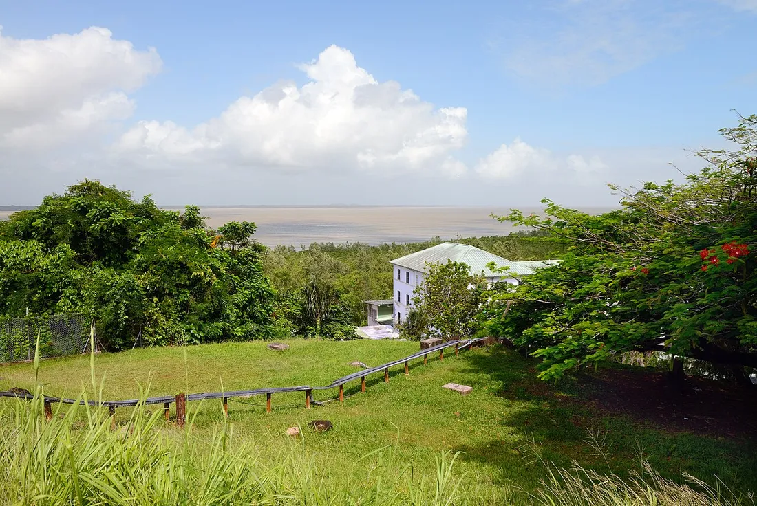
- A panoramic view over the estuary of the Cayenne river and the metropolitan area.
- Free, with no booking or mandatory guide.
- Ideal for a half-day, as a warm-up on a first or last day, when you’ve already planned Kourou, the Salvation Islands or the Kaw marshes for the rest of your stay.
The smart acclimatization plan
The climate is equatorial: hot and humid year-round, 26 to 30 °C. The climb is done in the shade of the canopy, but you will sweat. No specific vaccine is required for the site, although the yellow fever vaccine remains mandatory to enter Guianese territory. Time-wise, French Guiana runs at -5 h in winter and -6 h in summer compared with Paris: starting early helps you enjoy the relative coolness and the animals most active at daybreak.
The three trails of Mont Grand Matoury
The site offers a network of maintained, marked trails. Here are the three routes we recommend depending on your fitness and the time available. The waymarking is decent but can become discreet beneath the vegetation: stay on the main path, as the Guianese forest closes in quickly off the trail.
1. The Rorota trail (easy loop)
Often associated with Mont Grand Matoury, the Rorota trail runs along the reservoir lake of the same name, straddling Rémire-Montjoly and Matoury. It’s the perfect loop for a gentle first outing.
- Distance: about 4 km as a loop.
- Duration: 1 h 30 to 2 h, breaks included.
- Difficulty: easy, moderate elevation gain, family-friendly.
- Highlights: views over the lake, educational panels, watching water birds and squirrel monkeys toward the end of the route.
It’s the ideal option with children or to simply “sample” the forest without exhausting yourself.
2. The forest discovery trail (intermediate)
This interpretive trail climbs the flanks of the massif and crosses several types of forest. The waymarking and panels help you understand the layering of Amazonian vegetation.
- Distance: 3 to 5 km depending on the variants.
- Duration: 2 h to 2 h 30.
- Difficulty: intermediate, a few steep and slippery sections after rain.
- Highlights: tall trees, lianas, species identification, forest wildlife.
It’s our favorite for anyone wanting a real sense of immersion without aiming for the summit.
3. The climb to the summit (sporty)
For trained walkers, the ascent up to the 234 meters of the highest point offers the reward. The final, steeper section crosses lower vegetation before opening onto the viewpoint: on a clear day, your gaze stretches over the estuary, the Rémire-Montjoly coastline, the rooftops of Cayenne and the ocean in the distance.
- Distance: 6 to 8 km round trip.
- Duration: 3 h to 4 h.
- Difficulty: sustained, significant cumulative elevation (about 200 m of climbing), wet terrain.
- Highlights: physical effort, sense of accomplishment, panorama.
Set off early, plan plenty of water, and head back down before mid-afternoon, when showers are frequent.
Choosing the right time slot
Our local tip: set off early, ideally between 6 and 7 in the morning. Three concrete reasons:
- The heat. Near the equator, by 10 a.m. the humidity and temperature make the climb noticeably tougher.
- The light. The morning offers a clearer view; in the afternoon, convection clouds often build up over the coast.
- The wildlife. Birds and howler monkeys are most active in the early hours.
When to go: the dry season makes all the difference
The climate strongly shapes the experience. The dry season, from July to late November, is by far the best period: less muddy trails, more often a clear view at the summit, reduced risk of showers. It’s also the ideal window to combine Grand Matoury with the rest of your visits in French Guiana.
In the rainy season (December to June, with a short lull in March), the hike remains possible but the terrain becomes very slippery and the view is frequently veiled. If you go anyway, absolutely aim for the very start of the morning, just after daybreak, and keep an eye on the sky.
What to pack in your bag
- 1.5 to 2 liters of water per person: there is no resupply point along the route.
- Hiking shoes with good grip (smooth soles slip on wet laterite).
- An effective insect repellent and lightweight covering clothing.
- A cap, sunscreen for the exposed sections, and a snack.
- Your charged phone with an offline map: the network (local code +594) can weaken under the canopy.
- A bag to carry out all your waste.
Count on €0 entry: the reserve is freely accessible, in compliance with the regulations (no foraging, no fire, dogs discouraged).