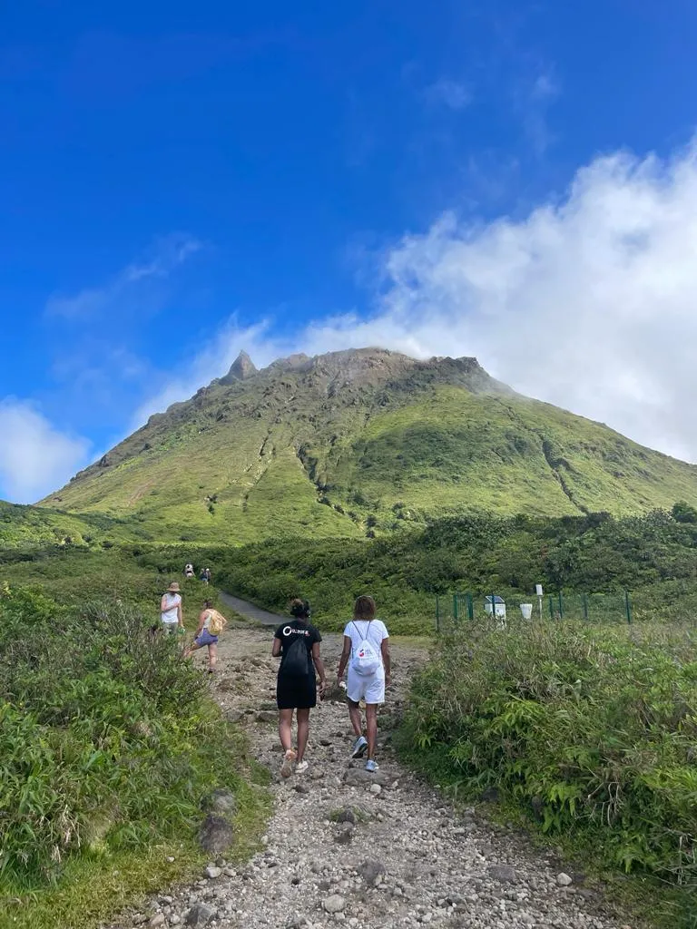
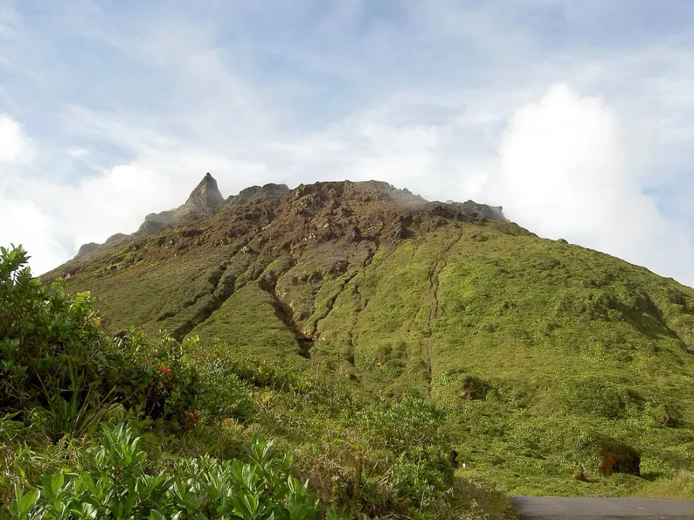
La Soufrière is the rooftop of Guadeloupe: 1,467 metres of basalt, sulphurous vapours and capricious clouds. Locals call her “the old lady” and, believe us, she has a temper. We’ve climbed to her summit more than twenty times, in every possible state of sky, and the difference between a memorable ascent and a frustrating slog through the fog almost always comes down to one thing: knowing how to read the cloud cover before you even lace up your boots. Here’s our unfiltered field report on how to nail your La Soufrière hike in Guadeloupe: the route via the Chemin des Dames, the morning weather windows, real durations, rain gear and safety rules.
Why La Soufrière isn’t a hike like any other
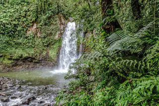
The volcano towers over all of Basse-Terre, the “mountain” wing of our butterfly-shaped archipelago. Unlike limestone Grande-Terre and its turquoise beaches (Sainte-Anne, Pointe des Châteaux), here you’re in the heart of the National Park, in a humid tropical forest where up to 8 metres of rain can fall each year on the heights. That very rainfall is what creates the near-permanent summit mist: La Soufrière manufactures its own clouds.
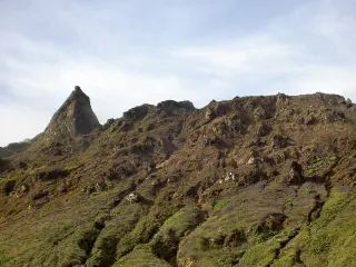
The summit is an active dome monitored by the Houëlmont Volcanological Observatory (OVSG). You’ll come across fumaroles, the characteristic rotten-egg smell (hydrogen sulphide) and ground that’s sometimes warm underfoot. Nothing alarming in the authorised zone, but it’s a reminder that you’re walking on a living volcano.
At a glance
- Altitude: 1,467 m
- Elevation gain from the Savane à Mulets car park: about 330 to 420 m depending on the route
- Distance: 3.5 to 4 km round trip on the direct route, 5 to 6 km on the loop
- Duration: 2h to 3h for the direct round trip, 4h to 5h for the full loop with breaks
- Difficulty: moderate, but slippery terrain and high steps
- Cost: free (free parking; no road toll)
Reading the sky from Saint-Claude: our departure method
Saint-Claude, the village perched at 540 m above Basse-Terre, is your natural observation post. This is where the road ends (the Bains Jaunes car park, then Savane à Mulets) and where we make our “go / no-go” call.
Here’s what we look at, in order, when we arrive on the square in Saint-Claude around 6:30 a.m.:
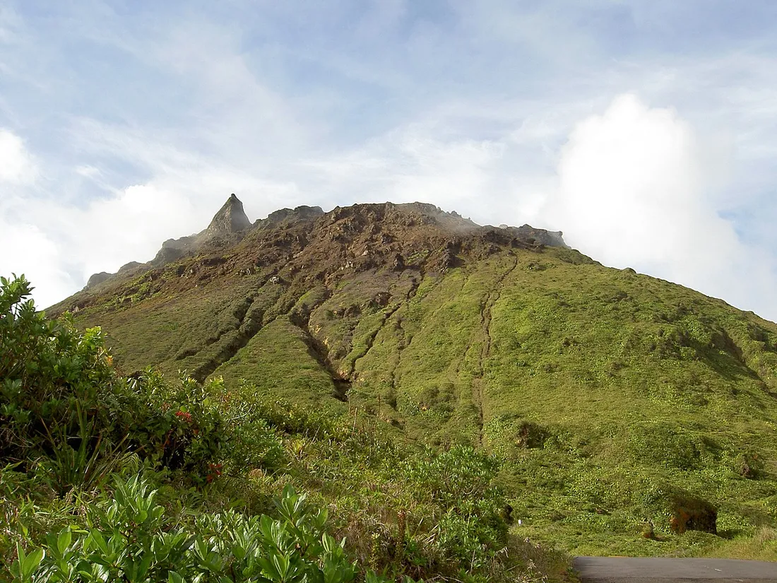
- Is the dome visible? If you can clearly see the dark mass of the volcano topped with just a plume of fumarole steam, go for it. That’s a clear window and it won’t last.
- The cloud base. If the cottony layer is hovering above 1,200 m (you can still make out the wooded flanks up to mid-height), you’ll probably get gaps in the cloud at the summit.
- The wind direction. A crisp, dry easterly trade wind “scrubs” the summit clean. Soft, muggy air guarantees pea soup.
- The colour of the sky to the east. A sharp sunrise over the Caribbean Sea on the Capesterre side means a stable day. A milky horizon means trapped humidity.
If the dome is completely drowned by 6:30 a.m., don’t necessarily give up: climb up to the Bains Jaunes anyway, observe for 20 minutes — the mist “breathes” and often tears open by late morning. But if it’s stubborn at 9 a.m., turn back. The summit with no view, in 12 °C and a damp wind, is pointless.
The route: Chemin des Dames and Pas du Roy
The common starting point is the Savane à Mulets (1,142 m), reachable by the forest road from Saint-Claude when it’s open; otherwise you start from the Bains Jaunes and add 40 minutes. From this car park, allow 45 min by car from Bouillante, 1h15 from Deshaies and nearly 1h45 from Le Gosier or Sainte-Anne over on Grande-Terre.
Two routes present themselves:
- The direct route (Pas du Roy trail): wide, fast, but very busy and lacking scenic interest.
- The Chemin des Dames: the old mule track once used by spa-goers heading up to bathe in the hot springs. It winds through the rainforest, follows ravines and gradually opens onto the summit plateau. It’s prettier, wilder and noticeably quieter.
Our advice: do the loop (up via the Chemin des Dames, down via the Pas du Roy, or the reverse) to vary the atmospheres. Walkers seeking 100 % peace and quiet can stick to the Chemin des Dames both ways.
Stage 1 — Savane à Mulets to the first steps (20 min)
A wide trail, paved in places, with a steady climb through short alpine vegetation. You quickly move from forest to mosses and lichens. This is the warm-up.
Stage 2 — The Chemin des Dames (40 min to 1h)
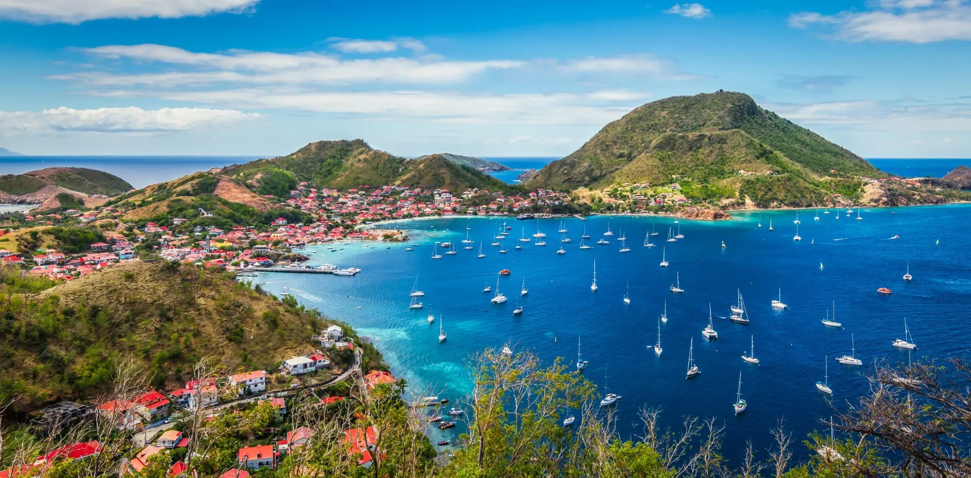
Here’s the heart of the climb and the section we prefer. The trail starts in dense undergrowth, then winds along the eastern flank of the dome, between walls of volcanic rock and sometimes high cut steps. Around halfway, the vegetation shrivels: you go from tropical forest to wind-swept high-altitude savannahs. On a clear day, you swing onto plunging views over the Les Saintes archipelago and Terre-de-Haut. In misty weather, the scenery turns mineral, almost lunar, with fumaroles hissing in the silence.
Our field tip: on the Chemin des Dames, the ground is volcanic clay. When wet, it turns into a bar of soap. Set your foot down flat, never on the toes, and favour the grassy edges for grip.
Stage 3 — The summit plateau and the South crater (30 min)
Once on the dome, the trail loops around the active chasms: the Gouffre Tarissan, the Faille du Nord, the fumaroles of the South crater. You’re literally walking on a living volcano. Stay strictly on the marked trails: some areas release gases and the ground can be unstable. The orientation table, when the sky cooperates, offers a 360° panorama over Grande-Terre, Marie-Galante, La Citerne, L’Échelle, La Madeleine and Dominica to the south.
Real durations
The signs often say “1h30 one way”. In real life, at a tourist’s pace, with photo stops and waterlogged ground:
- Savane à Mulets → summit via the Chemin des Dames: 1h45 to 2h15 of climbing.
- Summit → car park via the Pas du Roy: 1h00 to 1h30.
- Full loop with breaks: plan on 4h to 5h, fumaroles included.
The difficulty remains moderate: nothing technical, but the terrain is constantly slippery (uneven steps, wet volcanic slabs, muddy sections). Shoes with good grip change everything. Children from 8-9 years old who are used to walking do very well in fair weather.
The time windows that change everything
If we had to keep just one piece of advice, it’s this: set off at dawn. The summit mist follows a fairly predictable daily cycle in the dry season.
- 5:30 – 8:00: the golden window. The air is still cool, humidity hasn’t yet risen from the valleys. Statistically, this is the clearest slot.
- 8:00 – 10:30: the uncertain window. Convection kicks in, the trade-wind clouds rise. You can get fine gaps just as easily as a total closeout.
- 10:30 – 14:00: the red window. The summit is almost always in the mist, often with showers. Avoid it for the panorama.
- Late afternoon. Sometimes a second lull, but the risk of thunderstorms and the lack of light to descend make it inadvisable.
Our tested and approved programme: leave your accommodation before 6:30 a.m. on Basse-Terre (earlier from Grande-Terre), be on the trail around 7 a.m., aim for the summit between 9 and 10 a.m., and head down before noon. During the dry season (December to April), these windows are far more reliable than in the rainy season. In the wet season, we still climb, but we accept walking in the cotton wool — the atmosphere stays magical, just without the view.