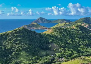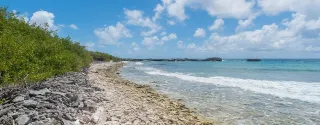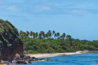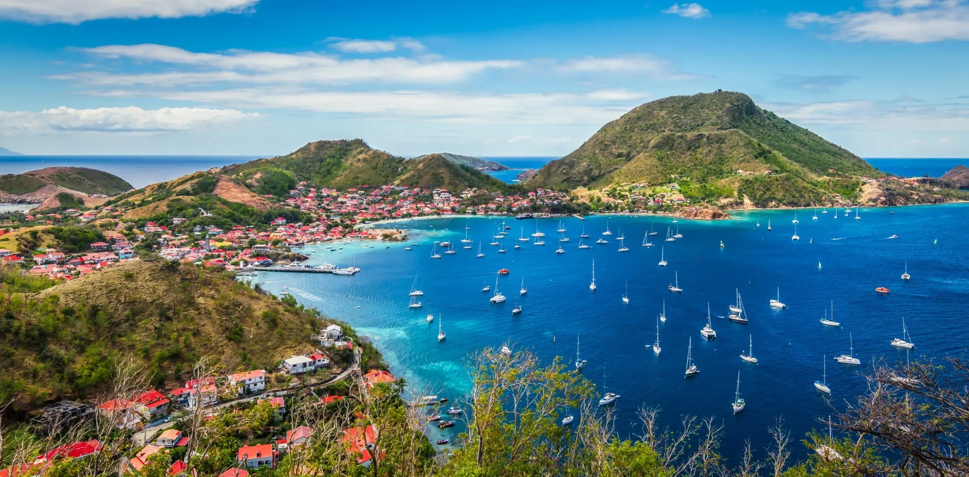
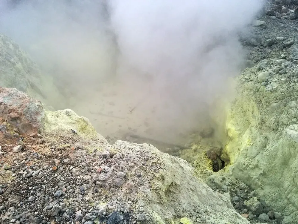
When you picture Guadeloupe, you probably think first of the Soufrière volcano, the Carbet Falls and the tropical rainforest of Basse-Terre. Yet the limestone wing of the butterfly-shaped archipelago, Grande-Terre, hides one of the finest hiking surprises in the Caribbean: the Trace des Contrebandiers (Smugglers’ Trail). This coastal path hugs cliffs carved by the Atlantic, running from the Pointe de la Grande Vigie in the north to the famous Porte d’Enfer. There’s no canopy to shelter you here: this is a seaside hike, exposed, rocky and spectacular. We’ll explain how to make the most of it, and above all how to handle the sun and hydration, the real challenge on these routes.
Why hike Grande-Terre?
People often associate Grande-Terre hiking with the beach idleness of Sainte-Anne or Le Gosier, and reserve “serious” hiking for Basse-Terre. That’s a mistake. The north of Grande-Terre, around Anse-Bertrand and Porte d’Enfer (in the municipalities of Le Moule and Grande Vigie), offers coastal trails of raw beauty that few visitors ever explore.
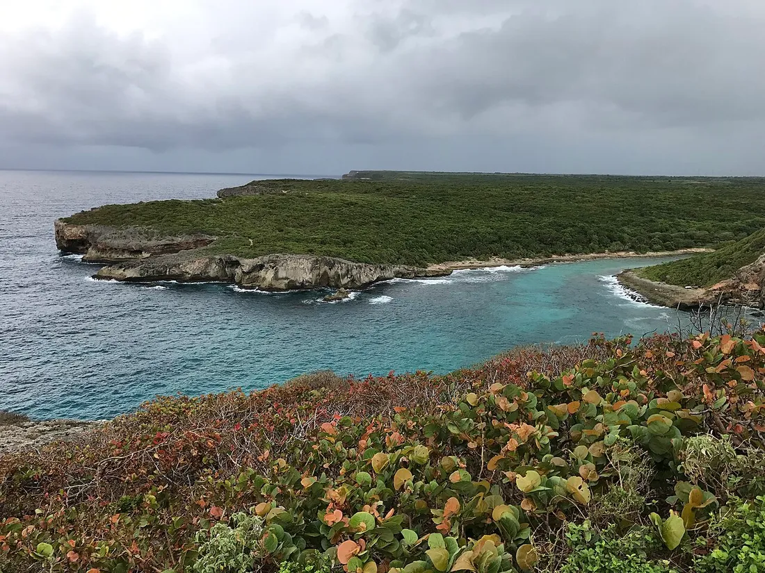
The difference with the rainforest comes down to one word: exposure. On the Trace des Contrebandiers, you walk across a limestone plateau swept by the trade winds, above cliffs where the ocean crashes in a constant roar. The vegetation is low, thorny and drought-adapted: poiriers-pays, sea grapes, candle cacti. Magnificent, but with barely a scrap of shade over several kilometres.
A terrain of limestone and cliffs
The geology explains everything. Grande-Terre sits on a limestone bedrock (as opposed to the volcanic bedrock of Basse-Terre). This creates jagged white cliffs, natural arches, “blowholes” where the sea rushes in, and a rocky soil that can be downright sharp. Plan on good closed shoes, not flip-flops: eroded limestone is treacherous underfoot.
The Trace des Contrebandiers: route and landmarks
The Trace des Contrebandiers historically linked the discreet coves of the northern coast, once used for clandestine trade between the islands. Today it’s a waymarked hiking route.
From the Pointe de la Grande Vigie to the Porte d’Enfer
Here are the concrete landmarks of a typical day:
- Recommended starting point: the car park at the Pointe de la Grande Vigie, the northern tip of Guadeloupe, reachable by car from Anse-Bertrand.
- Distance: roughly 12 to 14 km round trip to reach the Porte d’Enfer (a sheltered lagoon) via the coastal path.
- Duration: count on 4 to 5 hours of actual walking, more with photo stops (and there will be plenty).
- Elevation gain: minimal, but the uneven terrain and lack of shade make the effort more demanding than it looks.
- Difficulty: intermediate. Technically accessible, but gruelling under the dry-season sun.
Along the way you’ll come across breathtaking viewpoints: the Grande Vigie cliff plunging more than 80 metres, the turquoise lagoon of the Porte d’Enfer framed by two headlands, and on a clear day the silhouettes of Antigua and La Désirade on the horizon.
Shorter variations
Not up for a full day? Two options for everyone:
- Grande Vigie loop: 1 hour to 1 hour 30, with maintained trails at the tip of the point, ideal for families.
- Porte d’Enfer trail toward the Pointe de la Grande Saline: 2 hours round trip, the most photogenic stretch, with the famous “Trou de Madame Coco”.
The real challenge: sun and hydration
This is THE point no guide should gloss over. On these coastal trails, the tropical sun beats straight down, the white limestone reflects light like a mirror, and the trade winds give you a false sense of coolness that masks dehydration. Every season we see hikers underestimate this cocktail.
How much water to carry?
Our field rule, proven season after season:
- At least 1.5 litres of water per person for a half day (short loops).
- 2.5 to 3 litres per person for the full Grande Vigie ↔ Porte d’Enfer trail.
- No drinking-water source along the route: you set off carrying everything on your back.
- Add an electrolyte tablet or a pinch of salt to a bottle: under the trade winds, you sweat without realising it.
When to set off?
Timing makes all the difference between a memorable hike and heat exhaustion:
- Set off before 8 a.m., ideally at first light. The light is softer and the sea often calmer.
- Avoid the 11 a.m. – 3 p.m. window, the harshest in terms of exposure.
- The dry season, from December to April, is the best time: fewer showers, dry and walkable trails. In the wet season the limestone becomes slippery and storms can catch you off guard.
The anti-sunburn checklist
Never leave these out of the pack:
- Wide-brimmed hat or sahariane cap (not a simple visor).
- Category 3 or 4 sunglasses: the glare off the limestone is intense.
- SPF 50 sunscreen, to reapply every two hours.
- A long-sleeved technical T-shirt, more protective than you’d think.
- Closed walking shoes, and socks (the abrasive limestone wears the skin down fast).