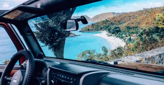
Driving in Guadeloupe means living a constant contrast: mainland-style dual carriageways around Pointe-à-Pitre, and twenty minutes later, narrow mountain roads where you honk before every hairpin. After years of crisscrossing the archipelago at the wheel to welcome our travelers, here’s what the brochures leave out: where traffic really backs up, at what times, the state of Basse-Terre’s roads, and how to plan your days to spend more time with your feet in the water than your foot on the brake.
Why a car is still essential on the archipelago
Let’s be clear: without a car, Guadeloupe boils down to the town where you’re staying. Buses mainly serve the Pointe-à-Pitre conurbation, with irregular frequencies and almost nothing after 6:30 p.m. or on Sundays. Yet the butterfly-shaped archipelago is vast: 60 km between Le Gosier and Deshaies, around 75 km between Saint-François and the foot of La Soufrière.
A rental costs between €25 and €40 a day for a city car in the dry season (December to April), and climbs to €50–70 for an SUV at Christmas if you book late. Reserve as soon as your plane tickets are confirmed: at Pôle Caraïbes airport, rental agencies regularly show “sold out” in February. Fuel is at a regulated price, around €1.85/L for unleaded, identical at every station.
Our complete guide to Guadeloupe details the distances between each town; keep it handy to build your itineraries.
Traffic jams in Pointe-à-Pitre: the routes and times to avoid
Yes, you can lose an hour in traffic under the tropics. The Pointe-à-Pitre conurbation concentrates most of the jobs, and traffic converges toward two bottlenecks.
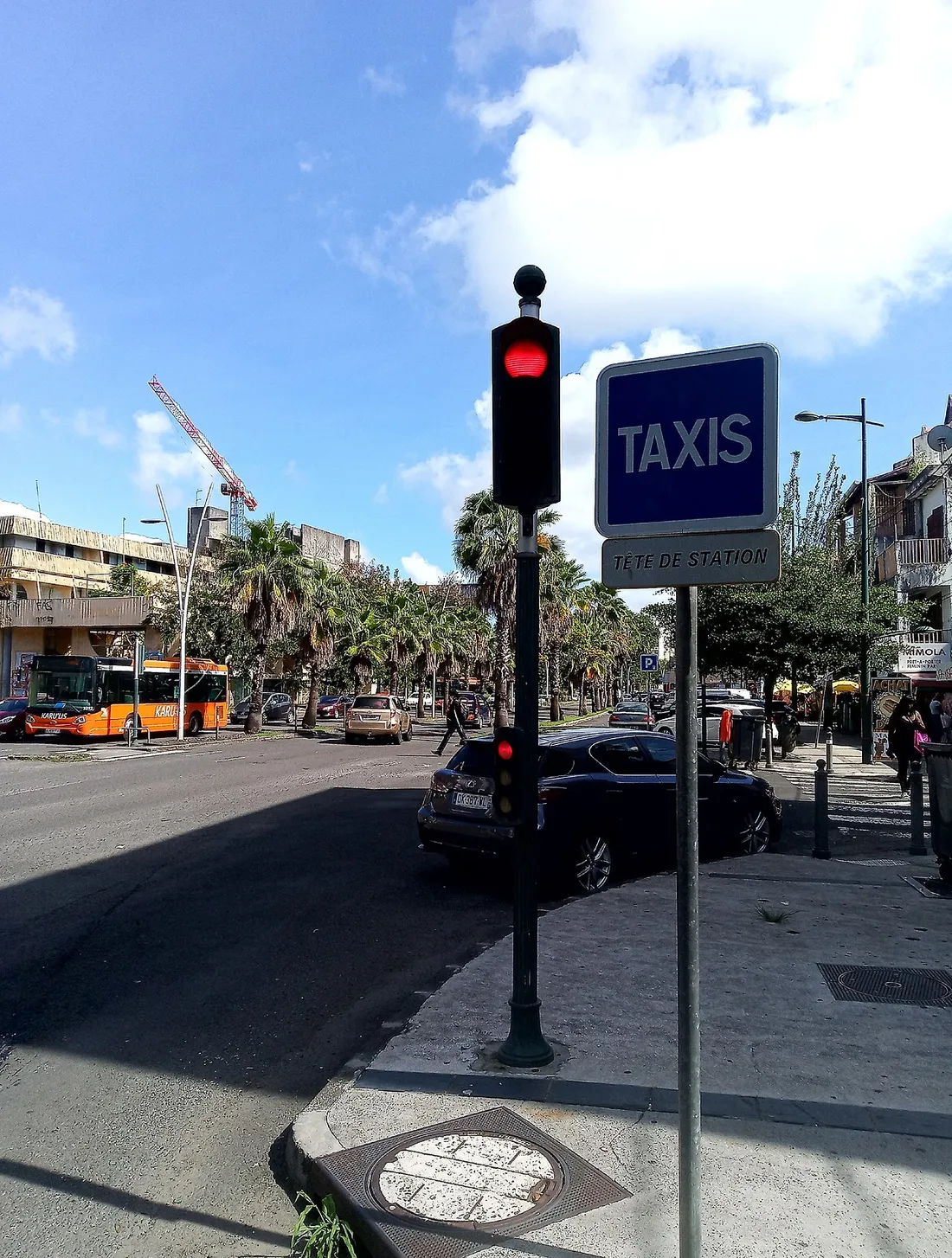
The N1 and the Gabarre bridge: the black spot
The N1 connects Basse-Terre (the prefecture town) to Pointe-à-Pitre, and crosses the Rivière Salée at the Gabarre bridge — the mandatory passage between the two wings of the butterfly. The critical windows, Monday to Friday:
- 6:00 – 8:30 a.m. toward Pointe-à-Pitre: the flow of workers from Basse-Terre, Petit-Bourg and Baie-Mahault. The Petit-Bourg → Pointe-à-Pitre trip goes from 20 to 50–60 minutes.
- 4:00 – 6:30 p.m. in the opposite direction: the same phenomenon on the way home, peaking around 5:15 p.m.
- Wednesday and Saturday morning around Jarry (Baie-Mahault), one of the largest commercial zones in the Caribbean: dense from 9 a.m.
The N4 toward the Riviera du Levant
The N4 serves Le Gosier, Sainte-Anne and Saint-François — the tourist heart of Grande-Terre. Slowdowns here are shorter but real: expect to lose 15 to 25 minutes between Le Gosier and Pointe-à-Pitre between 7 and 8:30 a.m., and jams on Sunday evening as people return from the beaches, between 4:30 and 6 p.m., especially around Sainte-Anne.
The local’s workaround
My golden rule: cross the Gabarre before 6:30 a.m. or after 9 a.m. For a Soufrière or Réserve Cousteau day trip departing from Sainte-Anne, leave at 6 a.m. — you’ll gain an hour and enjoy the sites before the tour groups. Bonus: the sunrise over the Rivière Salée mangrove is worth the early alarm.
Road conditions: Grande-Terre rolls, Basse-Terre rattles
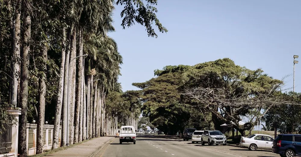
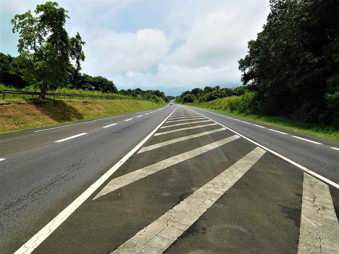
Grande-Terre: a generally excellent network
Grande-Terre’s main roads (N4, N5 toward Le Moule) are wide, well-surfaced and well-lit near the towns. Only the eastern tip, toward the Pointe des Châteaux, narrows at the end of the route — take care with cyclists and pedestrians along the roadside. Speed bumps are numerous and sometimes poorly signed at the entrance to village sections: ease off the gas as soon as you see houses.
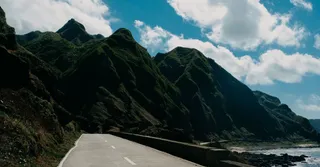
Basse-Terre: stunning, but demanding
The terrain gets tougher, naturally: you’re driving on the flanks of a 1,467 m volcano, under rainfall exceeding 8 meters a year on the heights.
- The Route de la Traversée (D23): 17 km of switchbacks through the National Park’s tropical forest. Decent surface but often wet and slippery roadway, tight bends, small rockslides after heavy downpours. Count on a real 30 minutes, not the 20 advertised.
- The leeward coast (N2 between Bouillante and Deshaies): recurring potholes after the rainy season, patched-up sections, stretches where two vehicles pass each other at a crawl. A spare tire in good condition is no luxury.
- The climb to the Chutes du Carbet and Bains Jaunes: steep gradients (up to 12%); use engine braking on the way down, the brake pads heat up fast.
A local specificity: the ravines, those concrete channels cut across the roadway to drain off rain, must be crossed slowly or you’ll scrape the underbody.
Cyclone season and rain: adapting your driving
From June to November, tropical downpours turn a dry road into a skating rink in three minutes. The reflexes that make the difference:
- Headlights on and following distances doubled at the first drops: aquaplaning is the leading cause of tourist accidents here.
- Never cross a submerged ford, even at 20 cm: the current of Basse-Terre’s rivers is deceptive.
- Under an orange or red cyclone alert, you don’t take the road, period.
- After a heavy rain episode, expect rockfalls on the Traversée and the Soufrière road — Guadeloupe La 1ère announces the closures.
Parking: beaches, towns and good habits
Good news: parking is free almost everywhere. The real issues are crowds and security:
- Plage de la Caravelle (Sainte-Anne): the lot fills up from 9:30 a.m. on weekends. Aim for before 9 a.m. or after 3 p.m.
- Grande Anse (Deshaies): large shaded free lot, but congested access on Sunday at midday.
- Plage de Malendure (Bouillante): fills up with diving departures toward the Réserve Cousteau; arrive before 8:30 a.m. for morning outings.
- Pointe des Châteaux: free designated lot, peak crowds at sunset.
Absolute rule: leave nothing visible inside the cabin, not even an empty bag. Smash-and-grab thefts in beach and hiking parking lots are the number-one crime targeting visitors. Open and empty glovebox: that’s the local signal for “nothing to take.”
Real drive times: the traveler’s dashboard
Here are my observed times outside rush hour (add 30 to 60 minutes if you cross the Pointe-à-Pitre conurbation between 7 and 9 a.m. or 4 and 6:30 p.m.):
- Pôle Caraïbes airport → Le Gosier: 20 min
- Airport → Sainte-Anne: 30–35 min
- Airport → Saint-François: 45 min
- Airport → Deshaies: 1 h 05
- Sainte-Anne → Plage de Malendure (Cousteau): 1 h 15
- Le Gosier → Bains Jaunes (Soufrière trailhead): 1 h 10
- Saint-François → Pointe des Châteaux: 15 min
- Trois-Rivières (Les Saintes ferry dock) → Sainte-Anne: 1 h 00
My advice: group your visits by wing. Two or three “Basse-Terre” days (volcano, waterfalls, snorkeling at Malendure), the rest in Grande-Terre beach mode — you’ll cut your time behind the wheel in half. By booking an accommodation in Guadeloupe with Hostel Toucan, you receive before arrival our tested itineraries, the smart timing for each site and 7-day WhatsApp support — including for a flat tire on a Sunday on the leeward coast. Direct booking, no platform fees, free cancellation up to 7 days before your stay. Own a property here? Our concierge service also supports owners day to day.
FAQ
Do you need an international license to drive in Guadeloupe?
No. Guadeloupe is a French department: a French or European license is enough. Traffic laws, signage and speed limits (50 km/h in built-up areas, 110 km/h on expressways) are identical to mainland France, and you drive on the right.
Which car to rent for Guadeloupe: city car or SUV?
A city car is enough for 90% of the roads, the Traversée included. An SUV is justified on the heights of Basse-Terre (Bouillante, Deshaies), where private access roads are steep, or for four people with luggage. No need to pay for a 4x4: no major site requires off-road driving.
What time should you avoid traffic jams around Pointe-à-Pitre?
Avoid crossing the conurbation between 6:30 and 8:30 a.m. (direction toward Pointe-à-Pitre/Jarry) and between 4 and 6:30 p.m. (outbound direction), Monday to Friday. The Gabarre bridge on the N1 is the most sensitive point. On weekends, watch out especially for the beach return on Sunday between 4:30 and 6 p.m. on the N4.
Can you take your rental car to Les Saintes or Marie-Galante?
For Les Saintes, no: Terre-de-Haut is explored on foot or by electric scooter. For Marie-Galante, the ferry accepts cars (around €80–90 round trip), but most rental contracts forbid it: check your terms or rent on site on arrival.