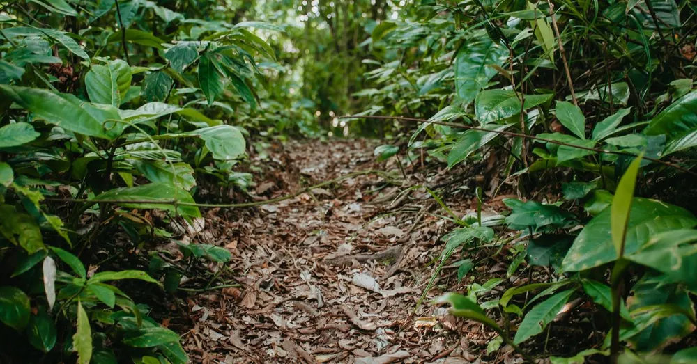
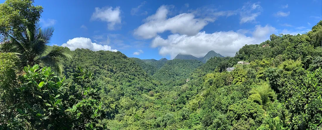
Martinique is too often boiled down to its southern beaches. Yet the moment you head up toward the Caribbean North, the island changes its face: the Martinique rainforest takes over—dense, humid, draped in tree ferns and majestic gum trees. After years of walking these trails in the rain as in the sun, here is a hands-on guide to discovering it without picking the wrong route or the wrong season.
Why the rainforest is concentrated in the North
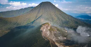
Geography dictates everything here. The northern reliefs (Mount Pelée, the Pitons du Carbet) catch the humid trade winds off the Atlantic. It therefore rains far more there than in the South, and this water feeds an exuberant humid rainforest, among the richest in the Lesser Antilles. A few benchmarks:
- Rainfall: the North receives up to 5,000 mm of rain per year on the heights, versus 1,000 to 1,500 mm in the South.
- Layering: dry forest along the shore, humid forest at mid-altitude, then cloud forest toward the summits.
- Emblematic species: the white gum tree, a giant exceeding 30 metres, once carved from a single trunk for fishing boats (yoles).
This forest is more than a backdrop: it shelters a discreet endemic fauna, from the purple-throated carib hummingbird to the matoutou falaise, a harmless protected tarantula sometimes seen on damp trunks.
The Slaves’ Canal: the most accessible forest hike
If you were to do just one walk in the Martinique rainforest, this might be it. The Slaves’ Canal, or Canal de Beauregard, is an 18th-century aqueduct carved into the mountainside to supply the sugar estates of the plain.
The trail follows the narrow stone wall of the canal, which you partly walk along. The vegetation closes the vault overhead and water flows at your feet: the forest exudes a constant coolness.
- Start: Le Morne-Vert, at the locality of Beauregard (roadside parking).
- Distance: about 6 km round trip depending on your turnaround point.
- Duration: 2 h 30 to 3 h, low and steady elevation gain.
- Difficulty: physically easy, but not advised for those with a fear of heights: some sections overlook a drop along a narrow wall, with no railing.
Best done early in the morning. The ground stays slippery: closed shoes with good grip are essential. In heavy rain, better to postpone, as the wall becomes soapy and the river can rise.
The Jesuit Trail: the great classic of the humid forest
Longer and more immersive, the Jesuit Trail is arguably the island’s best-known humid-forest hike. Laid out by the Jesuit fathers to link their estates, it crosses the Pitons du Carbet massif, between Le Morne-Rouge and Gros-Morne.
You come here for the rainforest in all its density: gigantic white gum trees, mahoganies, red heliconias, ravines and river fords. You walk almost always in the shade, in a clammy atmosphere.
- Distance: about 9 km as a traverse (Le Morne-Rouge → Gros-Morne direction recommended).
- Duration: 3 h 30 to 4 h 30 of actual walking.
- Elevation gain: moderate but cumulative, with many ups and downs.
- Difficulty: intermediate level, muddy and root-laden terrain.
Since it is a traverse, arrange two cars (one at each end) or set off with a guide. Mud is the number-one challenge: bring shoes you won’t mind getting dirty.
The Grand-Rivière hike: the forest to the island’s edge
For seasoned walkers, the Grand-Rivière hike is the ultimate experience of wild coastal forest. It links Grand-Rivière, at the very north, to Le Prêcheur, on the Caribbean coast, via a spectacular trail accessible only on foot, where the road ends.
The route alternates humid forest clinging to cliffs, deep ravines, black pebble beaches and dizzying ocean viewpoints, where you cross paths with more land crabs and hummingbirds than hikers.
- Distance: about 18 km for the full traverse.
- Duration: 5 to 7 h depending on pace and trail condition.
- Elevation gain: significant and repeated (over 1,000 m cumulative).
- Difficulty: strenuous, reserved for experienced and well-equipped hikers.
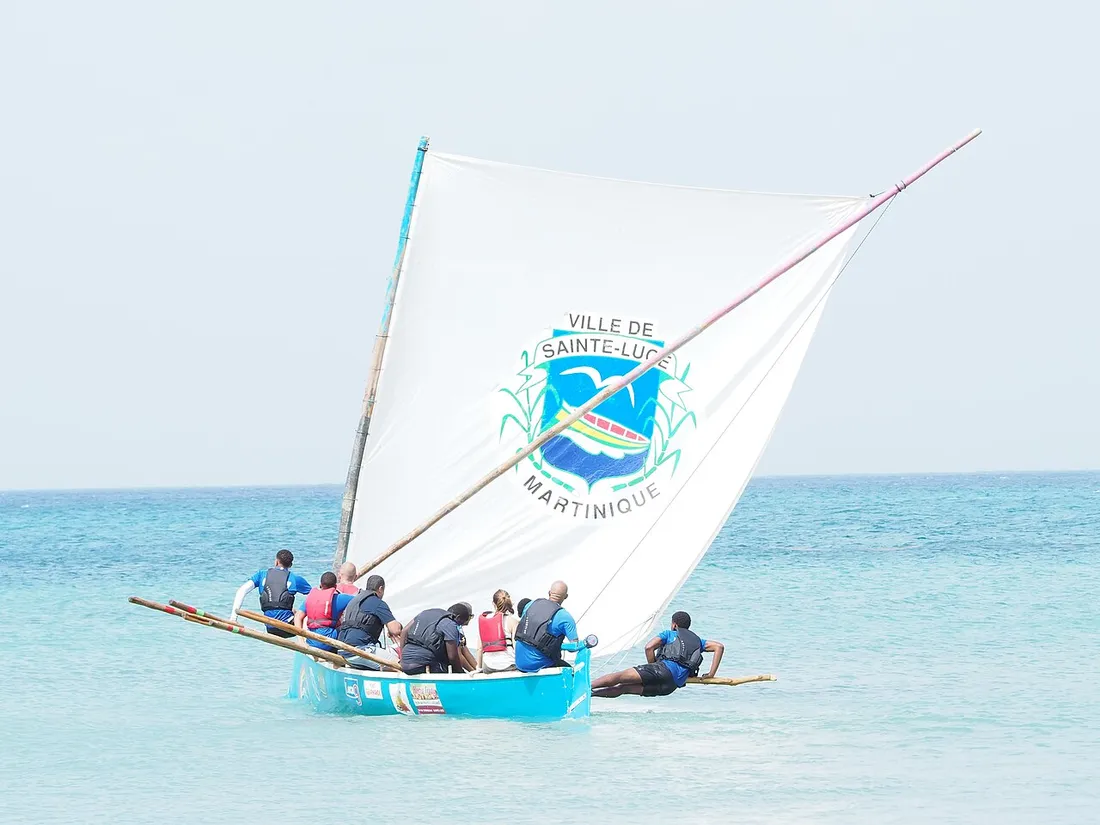
Many call on a sea shuttle from Grand-Rivière, which drops off or picks up walkers and spares an exhausting return on foot. Count on 25 to 35 € for the crossing depending on the operator and season: a comfort that changes everything.
Rain, gear and safety tips
The humid forest is magnificent precisely because it is watered: you have to deal with the water. My tried-and-tested recommendations:
- Clothing: quick-drying t-shirt, a lightweight rain jacket always in your pack, and a change of clothes for the car.
- Shoes: closed shoes with lugged soles, no exceptions. Flip-flops are out of the question on these slippery grounds.
- Water: 1.5 to 2 L per person, even in the shade; the humidity makes you sweat a lot.
- Timing: set off early. Showers strengthen in the afternoon and night falls sharply around 6 p.m. in the tropics.
- Insect repellent: indispensable in the damp undergrowth, with a cap for the open stretches.
- Weather: if heavy rain is forecast, give up the river-crossing routes (Jesuit Trail, Grand-Rivière), whose fords become impassable.
The best period remains the Carême, the dry season from December to April: more walkable trails, clear skies, lower rivers. The rest of the year, the forest can still be hiked, but you’ll have to accept the rain as a companion. Keep an eye, too, on the carnival calendar (February–March), a highlight to experience if you’re on the island.
Where to stay to explore the northern forest
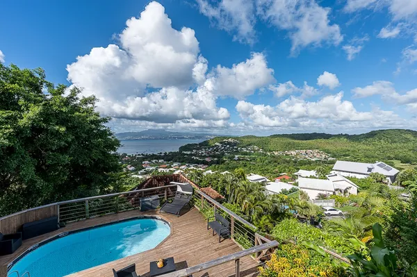
These trails are best savoured without rushing, and the daily round trip from the South quickly spoils the pleasure. Instead, set down your bags in the Caribbean North, around Le Carbet, Saint-Pierre or Le Morne-Vert: you’ll be 20–40 minutes from the trailheads, at the foot of Mount Pelée and the UNESCO-listed ruins of Saint-Pierre.
At Hostel Toucan, we manage holiday rentals and a concierge service designed to experience Martinique like a local. Booking directly brings very concrete advantages:
- Direct booking with no platform fees: you pay the fair price, with no added commission.
- Free cancellation up to 7 days before arrival, perfect when tropical weather acts up.
- WhatsApp assistance 7 days a week for your last-minute questions, including trail conditions and shuttle contacts.
Discover our accommodations at /location-martinique and plan the rest of your trip with our complete guide to Martinique. Do you own a property in the North and want to make the most of it? Our concierge offer is detailed at /proprietaires.
Good to know before you go
Martinique is a French overseas department (capital Fort-de-France) where you pay in euros and speak French and Creole; the time difference is -5 h in winter, -6 h in summer compared with Paris. Arrival is at Aimé Césaire airport, in Le Lamentin, about 1 h from the Caribbean North. A car is strongly recommended for these trailheads, poorly served by public transport.
The northern rainforest is not the postcard Martinique, and that’s exactly its charm. Between the gum trees of the Slaves’ Canal, the depth of the Jesuit Trail and the isolation of Grand-Rivière—well equipped and tuned to the right hours—you’ll come back with the feeling of having touched the green soul of the island. Write to us to put together your itinerary.
FAQ
What is the best rainforest hike in Martinique for beginners?
The Slaves’ Canal (Canal de Beauregard), starting from Le Morne-Vert, is the most accessible: about 6 km round trip, 2 h 30 to 3 h, low elevation gain and constant shade. The only caveat is that some narrow sections overlook a drop and are not advised if you fear heights. To go further, the Jesuit Trail offers a longer, intermediate-level immersion.
Is the Jesuit Trail difficult?
It is intermediate level: about 9 km as a traverse, 3 h 30 to 4 h 30, with cumulative elevation gain and often muddy ground. The main difficulty is the slippery terrain and the river fords. Bring closed shoes with good grip and arrange two cars or a guide, since it is a traverse between Le Morne-Rouge and Gros-Morne.
How do you do the Grand-Rivière to Le Prêcheur hike?
This coastal-forest trail of about 18 km links Grand-Rivière to Le Prêcheur in 5 to 7 h, with significant elevation gain: it is reserved for experienced hikers. Since the road ends at Grand-Rivière, most walkers use a sea shuttle (25 to 35 € depending on the operator) to reach the start or avoid the return on foot. Set off early and give up in heavy rain.
What should you bring to hike the humid forest in the North?
Bring a lightweight rain jacket, closed shoes with lugged soles, 1.5 to 2 L of water per person, insect repellent and a change of clothes for the way back. Set off in the morning to avoid the afternoon showers and the night that falls around 6 p.m. The dry season (Carême, December to April) remains the most comfortable period.